 ValleyEntry ~CLP 12.000
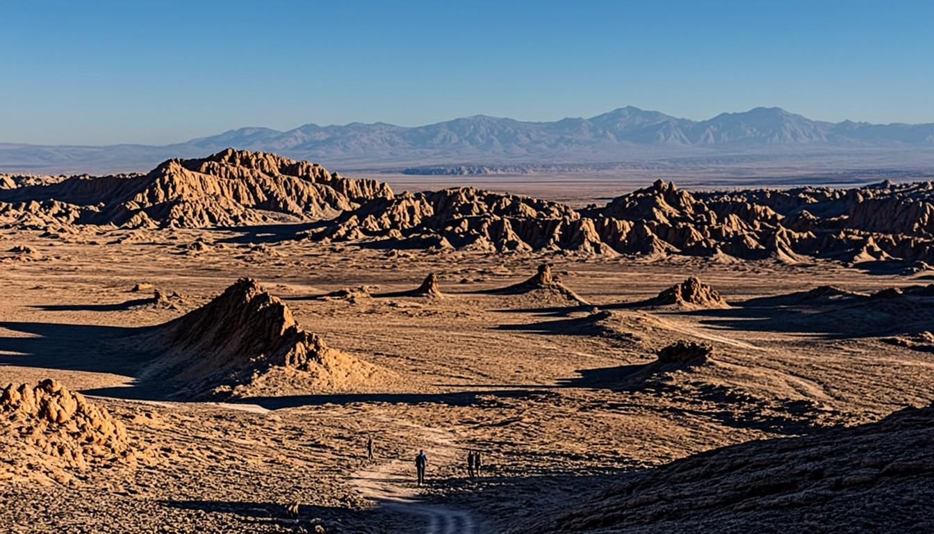
Valle de la Luna (Moon Valley)
Chile's most-visited desert landscape: sculpted salt ridges and dunes that glow at sunset, 13 km from San Pedro.
13 km25 min2,500 mEasy
Field-checked destinations
Every major landscape around San Pedro de Atacama — distances, entry fees, altitude and how to visit, checked on the ground.
ValleyEntry ~CLP 12.000Chile's most-visited desert landscape: sculpted salt ridges and dunes that glow at sunset, 13 km from San Pedro.
13 km25 min2,500 mEasy
 ValleyEntry ~CLP 5.000
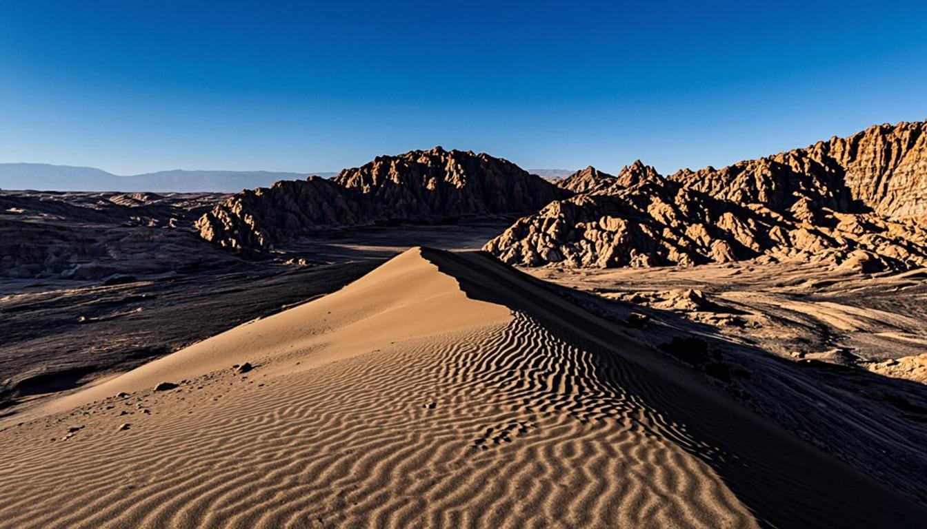
A wall of golden dunes and salt cliffs 8 km from town — the Atacama's best quick-hit viewpoint and sandboarding spot.
8 km15 min2,550 mEasy
 ValleyEntry ~CLP 5.000
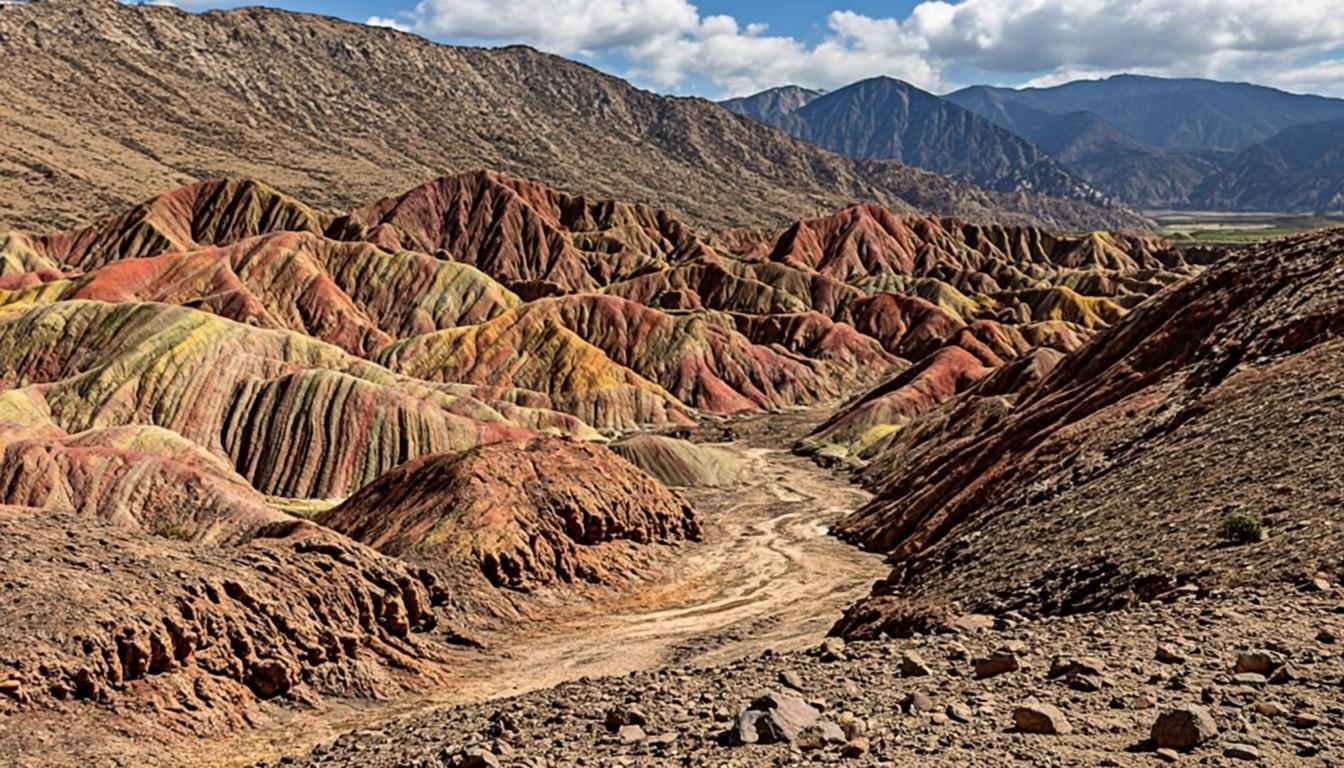
Mineral-striped hills in red, green and white near the village of Rio Grande — the Atacama's most photogenic geology lesson.
62 km1 h 10 min2,550 mEasy
 GeysersEntry ~CLP 15.000
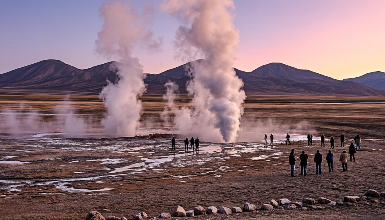
The southern hemisphere's largest geyser field: steam columns at dawn, 4,320 m of altitude and the Atacama's coldest morning.
88 km1 h 40 min4,320 mModerate
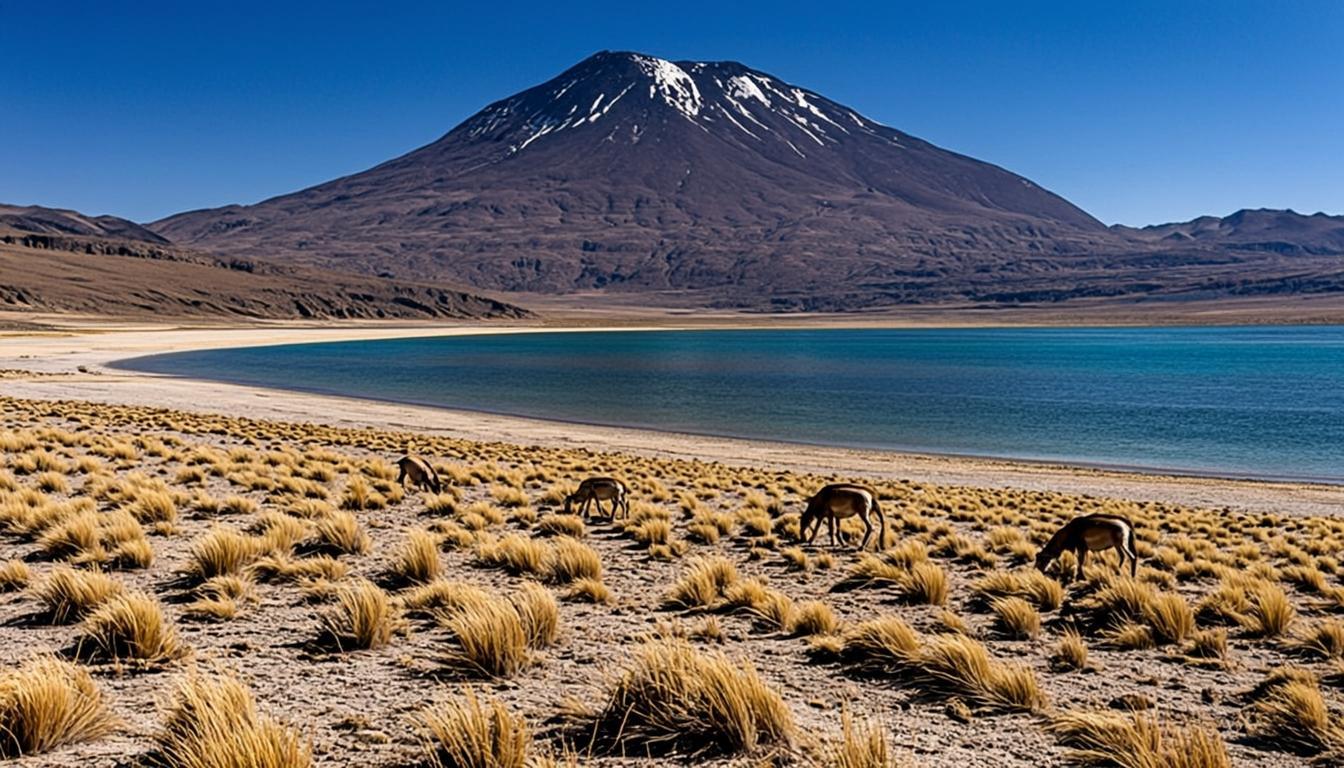 LagoonEntry ~CLP 10.000
Twin black-water lagoons framed by volcanoes at 4,100 m — the altiplano in one postcard, with vicuñas included.
105 km1 h 45 min4,140 mModerate
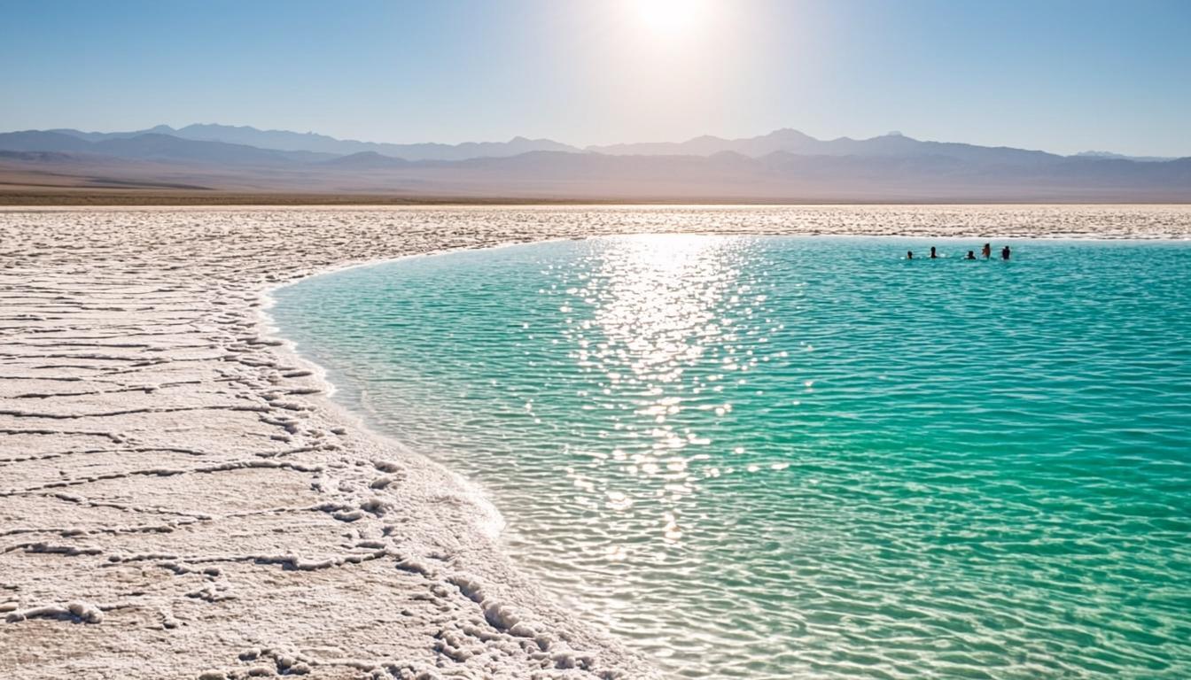 LagoonEntry ~CLP 25.000
A sinkhole of Caribbean-blue brine where you float effortlessly — the Atacama's swim stop, 19 km from town.
19 km25 min2,300 mEasy
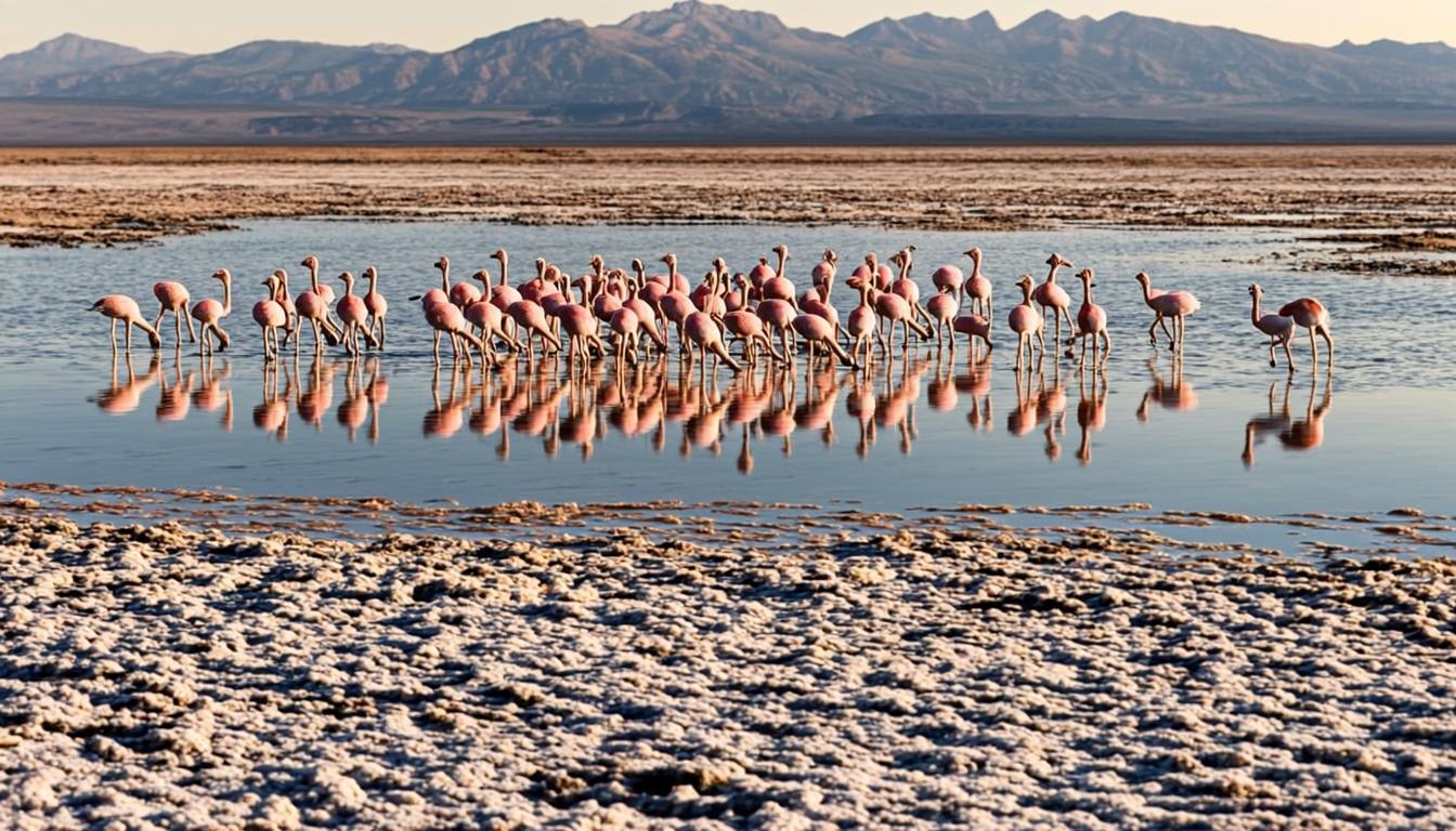 LagoonEntry ~CLP 15.000
The Salar de Atacama's flamingo heartland: three wild species feeding on brine shrimp an hour from town.
56 km55 min2,305 mEasy
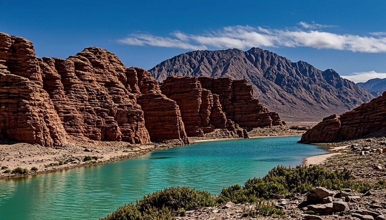 Salt flatEntry ~CLP 15.000
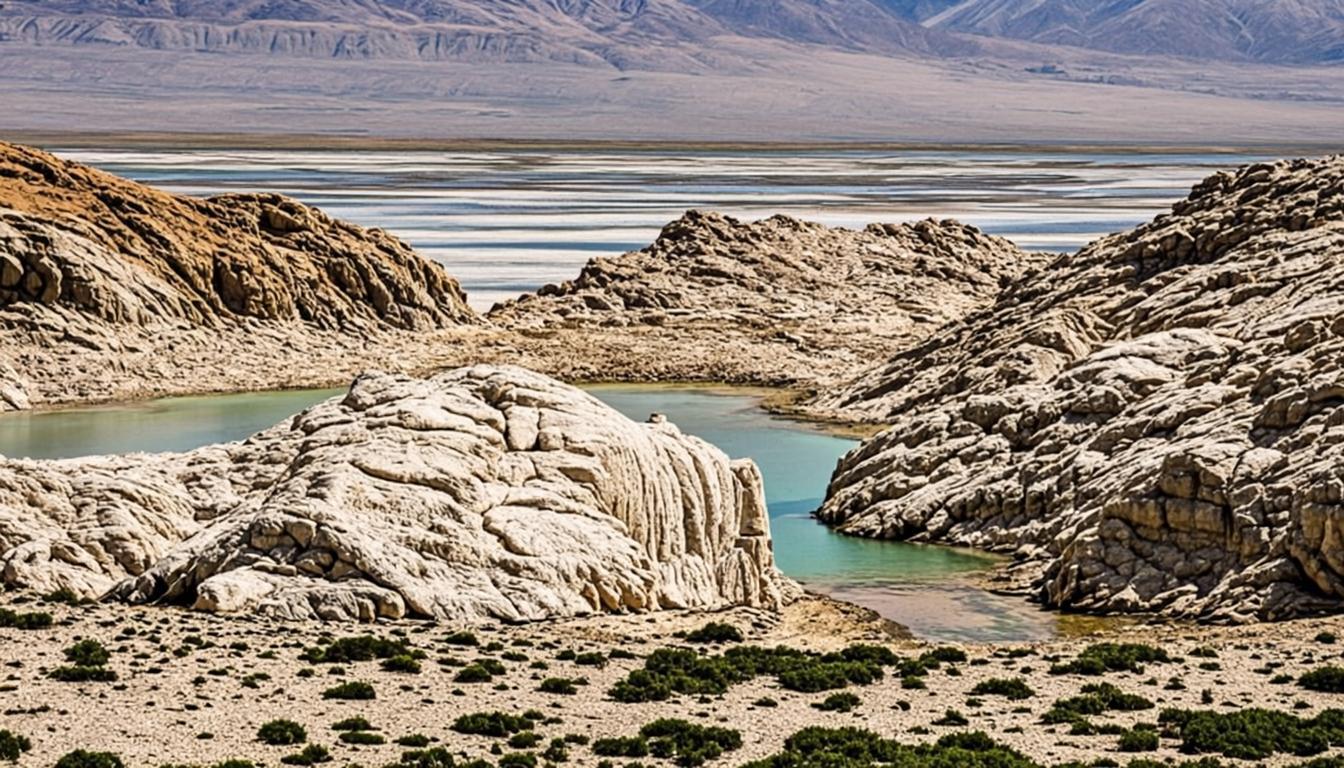
Oxide-red boulders balancing on a milky high-altitude lagoon — the Atacama's most surreal composition, 4,145 m up.
120 km2 h4,145 mModerate
 Salt flatEntry ~CLP 25.000
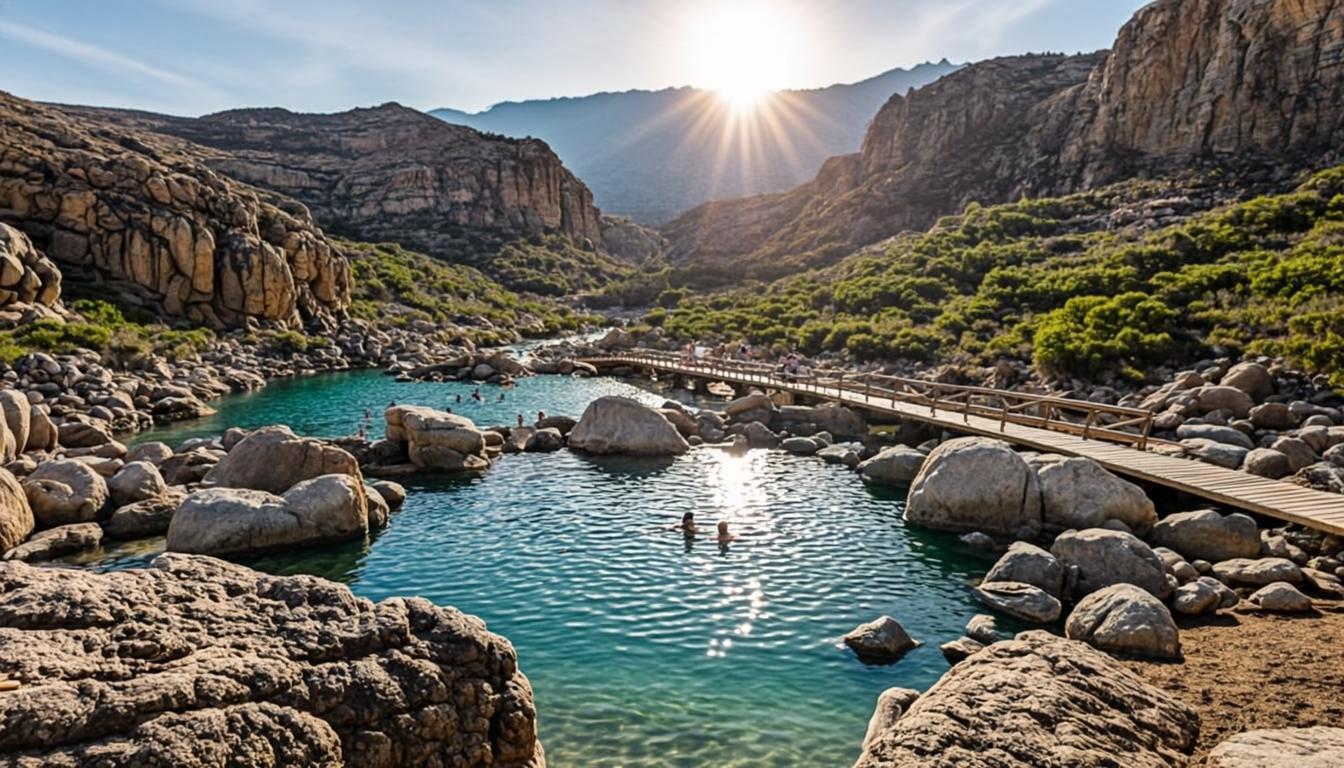
Stone sentinels, cathedral rock walls and emptiness at 4,300-4,800 m — the altiplano's most remote day trip.
115 km2 h 10 min4,300 mDemanding
 Hot springsEntry ~CLP 35.000
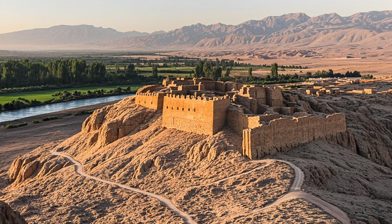
Eight steaming pools stacked in a red-rock canyon at 3,475 m — the desert's most civilized soak.
31 km40 min3,475 mEasy
 ArchaeologyEntry ~CLP 10.000
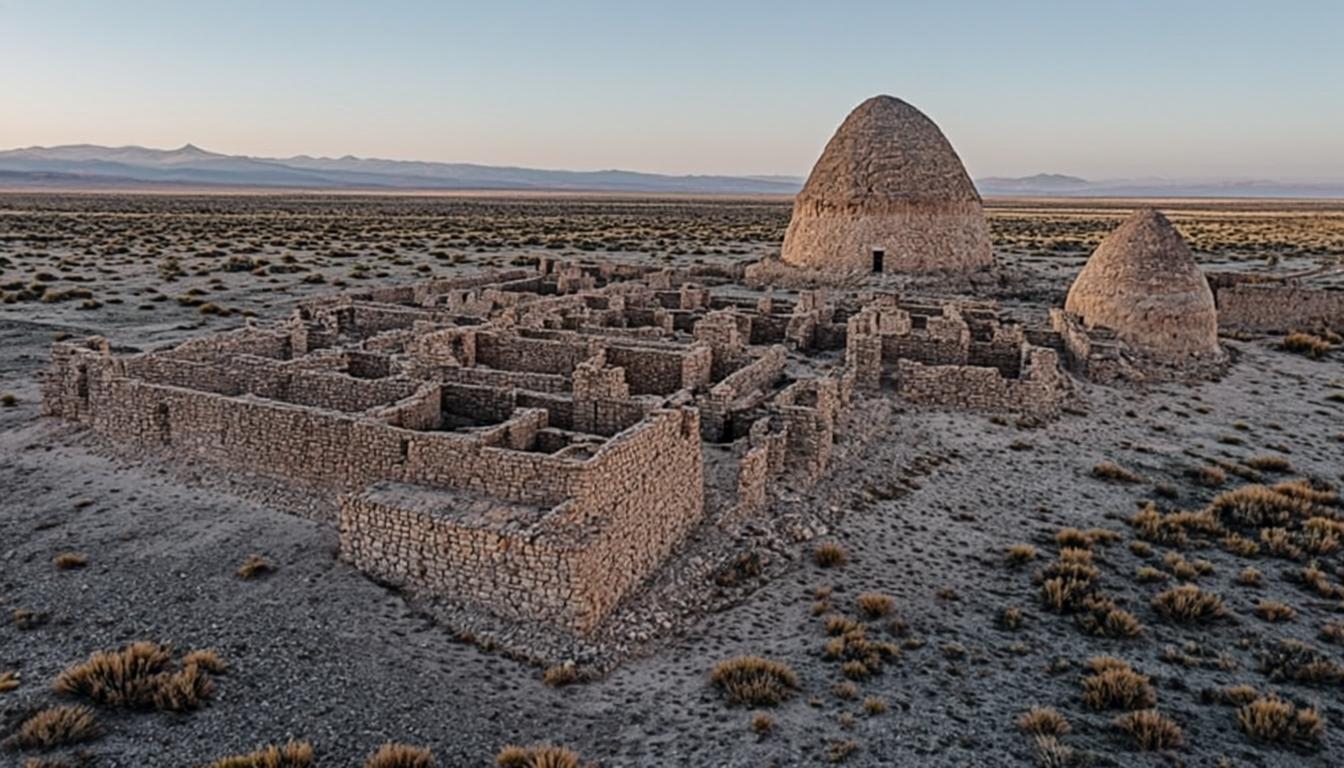
A 700-year-old stone fortress on a red spur 3 km from town — Atacama history with a summit view.
3 km10 min2,480 mModerate
 ArchaeologyEntry ~CLP 10.000
Circular adobe dwellings buried by sand for 2,800 years — the oldest village in the Atacama, 10 km from town.
10 km15 min2,440 mEasy
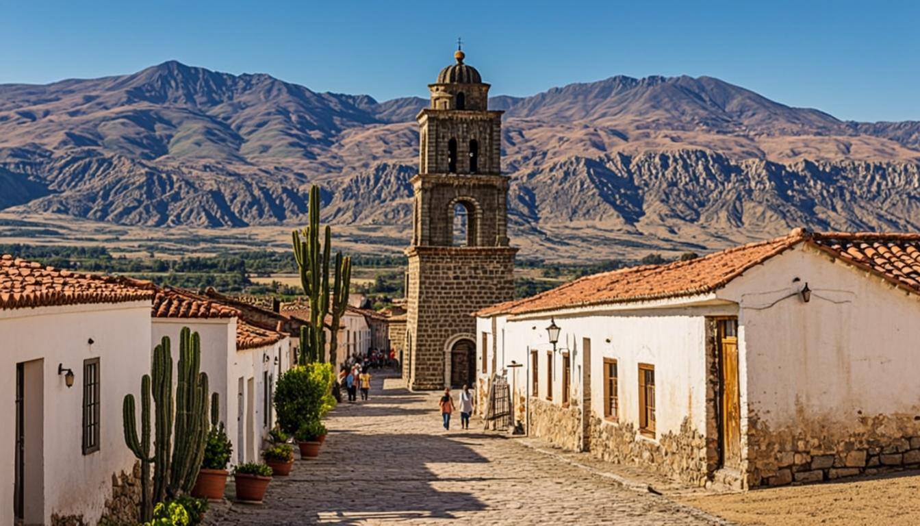 VillageFree entry
A white-stone oasis village of carvers and orchards — the quiet cultural stop on the way to the salar.
38 km40 min2,475 mEasy
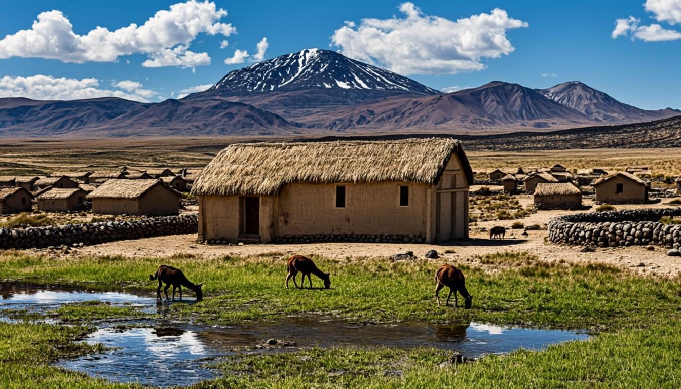 VillageFree entry
Twenty residents, an adobe church, grills smoking with llama anticuchos — the altiplano village that time kept.
48 km45 min3,110 mEasy
Go further
Read the long-form guides behind each landscape, or let the trip planner order them altitude-safe.
Ten long reads covering seasons, altitude, budget, packing and the headline excursions.
Turn these destinations into a day-by-day itinerary with costs, altitude order and rain-season warnings.