What it is
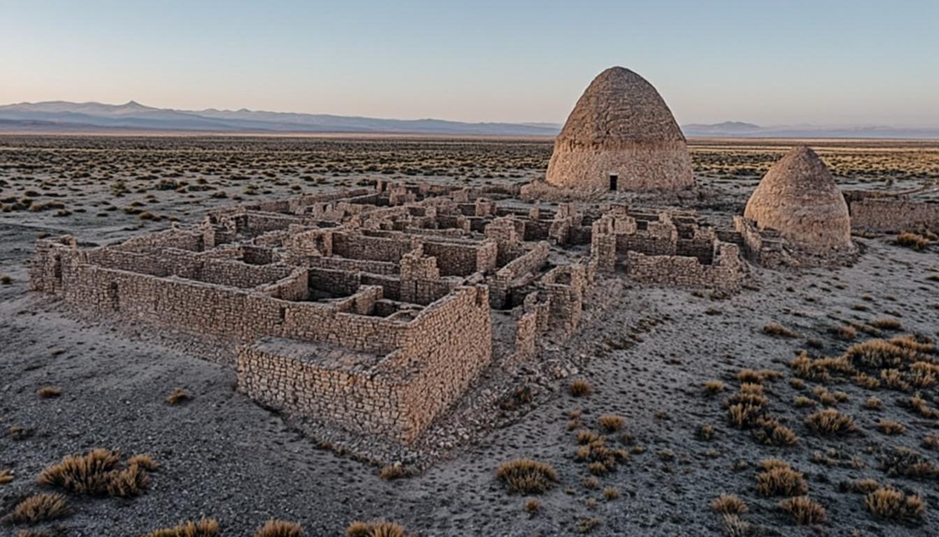
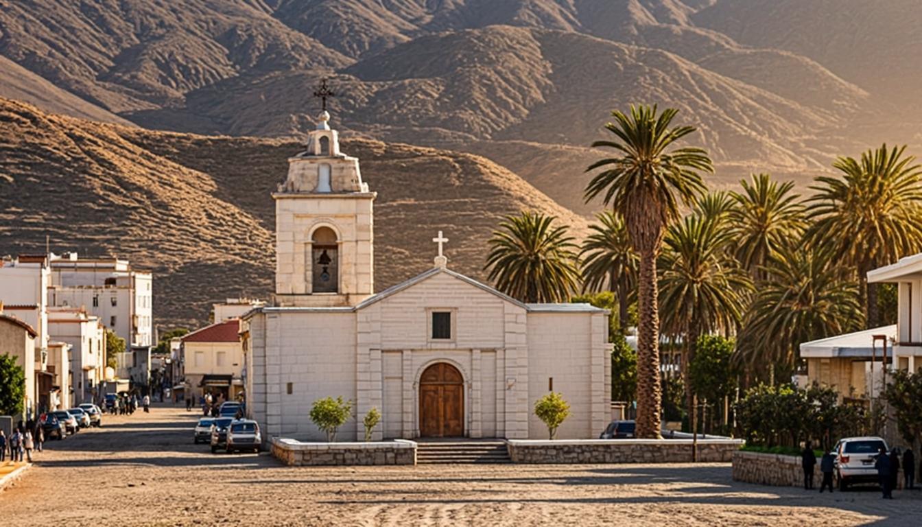
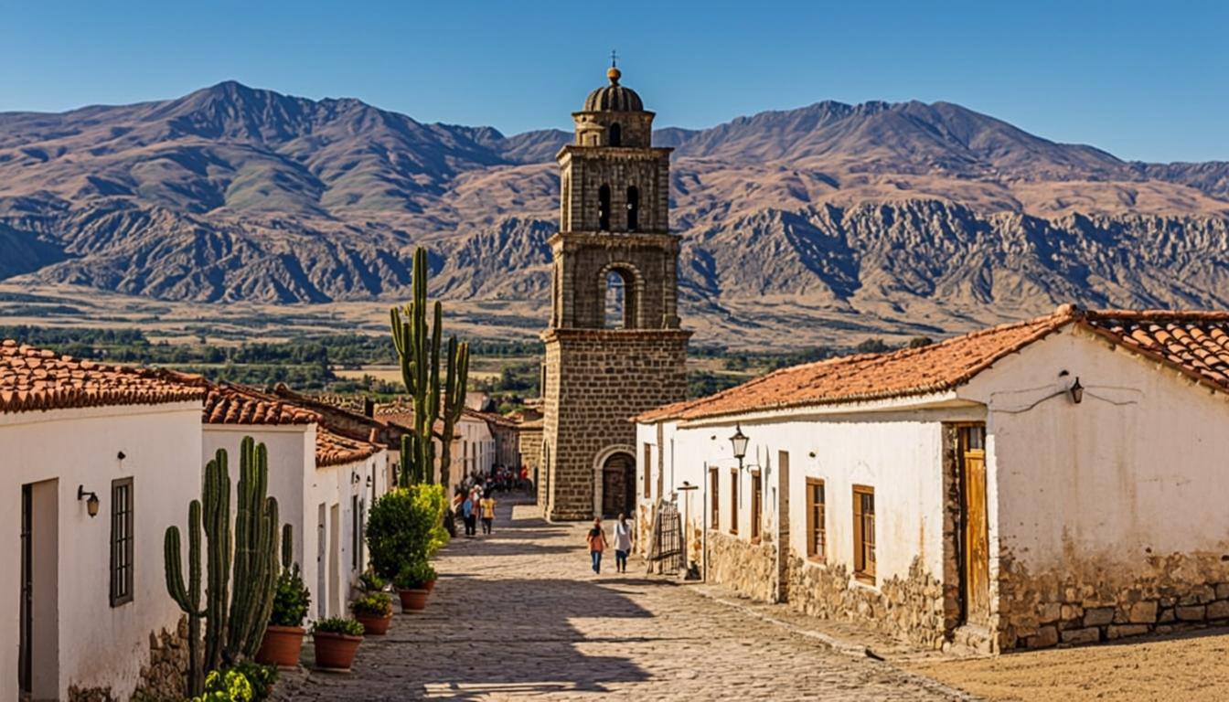
Toconao takes its name from kunza for "place of stones", and the material defines it: soft white-orange liparite — volcanic tuff quarried nearby — worked into the freestanding bell tower (a 1750 national monument), the San Lucas church and the village's low, rounded houses. Unlike the tourism town you came from, this is a living farming village of roughly 900 people: quieter, cheaper and on its own clock.
Two draws compete for your hour. First, crafts: Toconao's carvers and weavers are known regionally, and home workshops sell cactus-wood figures, wool and carob products directly. Second, the Quebrada de Jere, a narrow canyon where springwater feeds pomegranates, peaches and figs — a green shock after the salar. Most salar loop tours stop here en route to Laguna Chaxa; self-drivers can linger properly.
Why go
The region's most atmospheric village: white stone, dusty plaza, working church.
Craft shopping at the source — carvings, weaving and carob sweets from the makers.
Quebrada de Jere: a green canyon micro-oasis a short walk or drive from the plaza.
Zero entry fee and zero altitude risk — an easy cultural balance to landscape days.
Visiting Toconao
How to get there
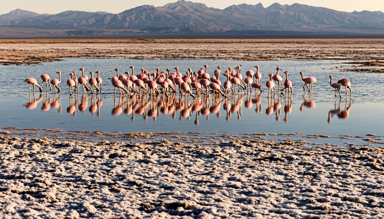
Follow the paved road toward the salar: 38 km, about 40 minutes from San Pedro. Tourist buses do not serve the village, so you will drive, transfer or tour. The efficient pattern is Toconao over lunch, then 25 more minutes to Laguna Chaxa for its sunset window — salar half-day tours run exactly this arc and handle the timing.
Toconao is a lunch-and-linger stop: eat, shop, walk the plaza, then push on to the flamingos for the last light.
When to go & what to expect
The plaza and bell tower take 20 minutes; add 40 for crafts and lunch. The quebrada is a short drive or a hot 40-minute walk from the plaza — go before noon in summer, as the canyon holds heat. On the village's San Lucas feast days the plaza fills with processions and food stalls: charming if you planned it, crowded if you did not.
Rules & practical tips
This is a residential village, not a monument: ask before photographing people, buy from workshops rather than resellers, and keep quiet if mass is underway. The quebrada's community fee, when charged, is cash. Carry cash from San Pedro — Toconao has no ATMs and card acceptance is patchy; the budget guide covers cash planning for the whole trip.
Common mistakes (and how to avoid them)
Toconao is free, close and easy — and still gets misvisited, mostly by people who schedule it like a viewpoint instead of a village with its own hours, prices and etiquette.
Arriving without cash: there are no ATMs, card acceptance is patchy, and lunch, crafts and the Quebrada de Jere community fee all run on bills you brought from San Pedro.
Treating it as a five-minute photo stop: the bell tower shot takes a minute, but the workshops, the church and the plaza need an unhurried hour to justify the 40-minute drive.
Walking to the quebrada at 14:00 in summer: the canyon holds heat and the walk from the plaza is a hot 40 minutes. Drive down or go before noon.
Ignoring that this is a residential village: ask before photographing people, keep drones grounded during mass, and buy from the makers' workshops rather than resellers.
Toconao runs on cash and clock: bring bills from town, give it a real hour, and time the quebrada for the cool part of the day.
Toconao on the map — and the services around it
The orange pin marks Toconao (38 km from San Pedro, about 40 min by van). Every other marker is a real service — and every marker has its own page: tap a place to open it, or add it straight to My Atacama Map. Useful if you are self-guiding or planning a stop on the way back to town.
- Landmarks & ruins
- Health & pharmacy
- Carabineros (police)
- ATMs & exchange
- Fuel station
- Transport
- Tourist info & CONAF
- Markets & shops
- Food & cafés
Positions are approximate and meant for orientation — follow the official park signs on site.
Services, food & stays nearby — open a place, add it to your map
The 10 closest places to Toconao, sorted by distance: tap a name to open its own page, or pin it straight to My Atacama Map without leaving this one.
Distances are straight-line — real driving distance can be longer.
Frequently asked questions
Sources & verification
The official references we used while researching Toconao: park rules, fees, safety and transport. Everything on this page is written independently — no operator pays for coverage here.
- gob.cl — official context for the 1750 Toconao bell tower and San Lucas church as national monuments
- CONAF — reserve regulations relevant to the Salar de Atacama sectors reached via Toconao
- SERNATUR — official tourism information for Toconao and the Salar de Atacama route
External links open in a new tab and lead to official Spanish-language pages. Fees and access rules can change seasonally — confirm on site or by phone before you travel.