What it is
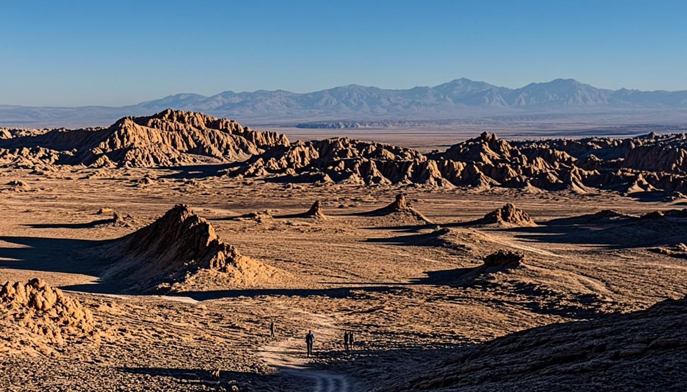
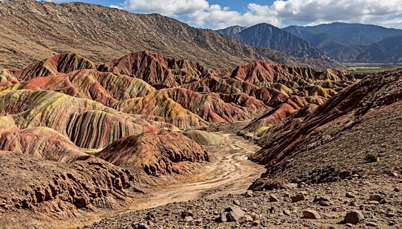
Sixty-two kilometers northeast of San Pedro, past the Callejón de Chiu Chiu, the earth turns painterly. Valle del Arcoíris — Rainbow Valley — is where three mineral families meet in layered hills: hematite reds, copper greens and gypsum whites, folded into ridgelines above the Rio Grande oasis. It sits at modest altitude, around 2,500 m, so unlike the altiplanic lagoons it is an easy day for freshly arrived travelers.
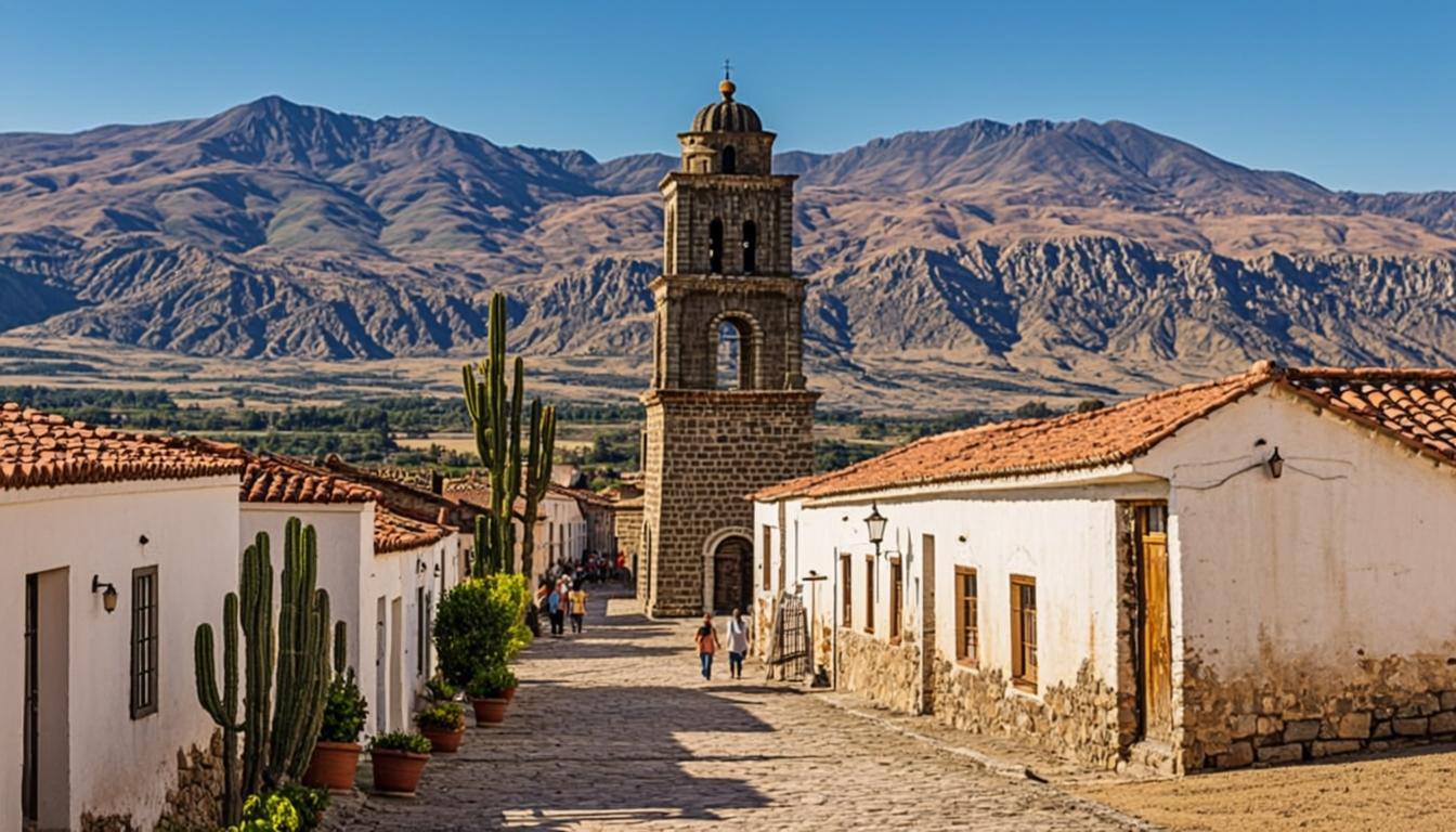
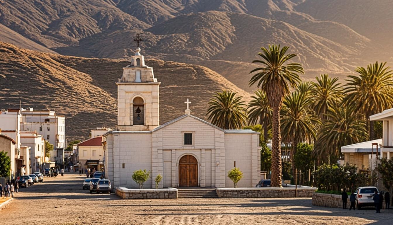
The visit is short and structured: a community-run gate, a loop of a few hundred meters through an ochre wash, and viewpoints framing the striped walls. Most half-day loops chain it with the Yerbas Buenas petroglyph field — thousands of figures carved into black rock — and a stop in Rio Grande itself, a working farming village that predates San Pedro's tourism economy by centuries.
Why go
The most colorful geology in the region: red, green and white stripes in a single frame.
Easy altitude (about 2,500 m) — a safe day trip within your first 48 hours of acclimatization.
Pairs naturally with Yerbas Buenas, one of northern Chile's largest rock-art sites.
Consistently uncrowded compared with Moon Valley, especially mid-week.
Visiting Valle del Arcoíris (Rainbow Valley)
How to get there
Take Ruta 23 north to Chiu Chiu, then the gravel Callejón to Rio Grande — about 62 km and 70 minutes from San Pedro, drivable in any rental car, though the last stretch washes out after rain. There is no public bus; your options are a rental car, a private transfer, or half-day tours that bundle the valley with the petroglyphs. Fuel up in town — there is nothing on route.
Road conditions after rain change weekly; the getting-there guide explains what to check.
No services at the site: water, snacks and cash come from San Pedro.
When to go & what to expect
Mid-morning sun (09:00-11:00) lights the stripes evenly; afternoon shadows flatten the green band and the site bakes. Summer heat builds fast — start early, finish by noon. The circuit is short but the wash narrows, so mind sand underfoot. Rain closes the gravel sections, sometimes for days; in rainy-season weeks (January-February) confirm access the day before.
Rules & practical tips
The valley is managed by the Rio Grande community: your CLP 5,000 funds the trail, and local guides enforce the marked-path rule. At Yerbas Buenas, never touch the petroglyphs — skin oils accelerate erosion and fines exist. Bring cash, water and sun protection; shade is essentially zero. If you are stitching your own loop, the trip planner shows realistic drive times between stops.
Rainbow Valley is a morning place: the colors, the temperatures and the crowds all agree on 09:00-11:00.
Common mistakes (and how to avoid them)
Rainbow Valley fails on logistics more than on landscape: the drive is long, the site has zero services, and two separate community fees catch visitors who budgeted for one.
Driving out after noon: glare flattens the green band and the wash bakes. The stripes read truest between 09:00 and 11:00, and an early start leaves slack for slow gravel.
Budgeting one fee: the valley charges CLP 5,000 at the Rio Grande gate and the Yerbas Buenas petroglyphs collect their own small fee. Two stops, two cash payments, and no ATM on route.
Skipping the fuel-and-water stop: nothing is sold on the 62 km route and there is no shade at the site. Fill the tank in San Pedro and carry a liter per person.
Touching the petroglyphs: skin oils accelerate erosion and fines exist. Photograph from the path — the figures read fine at arm's length.
The valley punishes improvisation: go in the morning, carry two lots of cash, and check the gravel after every summer storm.
Valle del Arcoíris (Rainbow Valley) on the map — and the services around it
The orange pin marks Valle del Arcoíris (Rainbow Valley) (62 km from San Pedro, about 1 h 10 min by van). Every other marker is a real service — and every marker has its own page: tap a place to open it, or add it straight to My Atacama Map. Useful if you are self-guiding or planning a stop on the way back to town.
- Landmarks & ruins
- Health & pharmacy
- Carabineros (police)
- ATMs & exchange
- Fuel station
- Transport
- Tourist info & CONAF
- Markets & shops
- Food & cafés
Positions are approximate and meant for orientation — follow the official park signs on site.
Services, food & stays nearby — open a place, add it to your map
The 10 closest places to Valle del Arcoíris (Rainbow Valley), sorted by distance: tap a name to open its own page, or pin it straight to My Atacama Map without leaving this one.
Distances are straight-line — real driving distance can be longer.
Frequently asked questions
Sources & verification
The official references we used while researching Valle del Arcoíris (Rainbow Valley): park rules, fees, safety and transport. Everything on this page is written independently — no operator pays for coverage here.
- CONAF — protected-area context for the Rio Grande road and the Reserva Nacional Los Flamencos sectors most visits pass through
- SERNATUR — official information on Rainbow Valley, the Yerbas Buenas petroglyphs and the Rio Grande route
- chile.travel — official destination profile for the Atacama Desert landscapes
External links open in a new tab and lead to official Spanish-language pages. Fees and access rules can change seasonally — confirm on site or by phone before you travel.