What it is
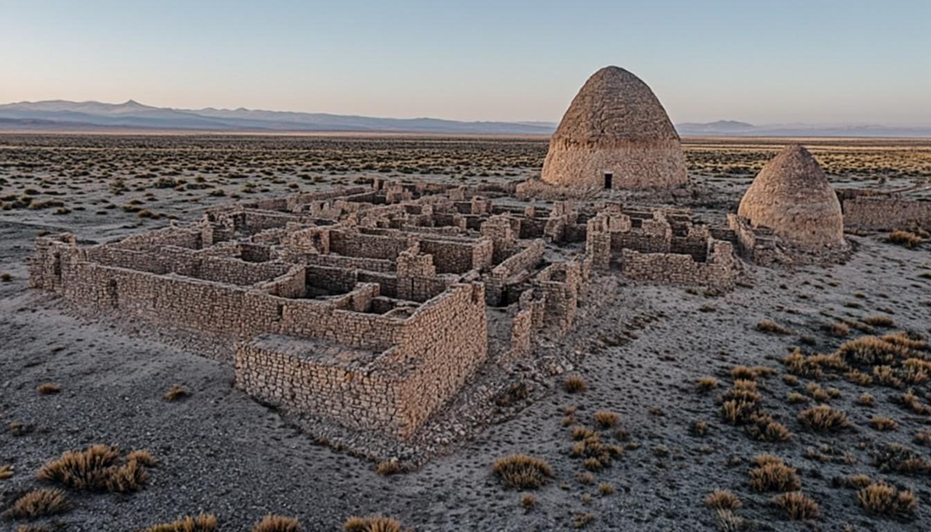
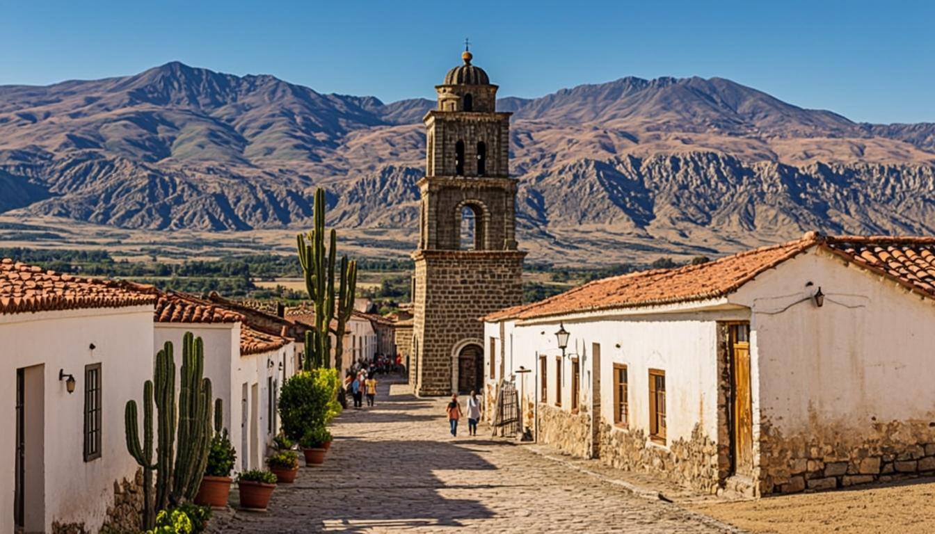
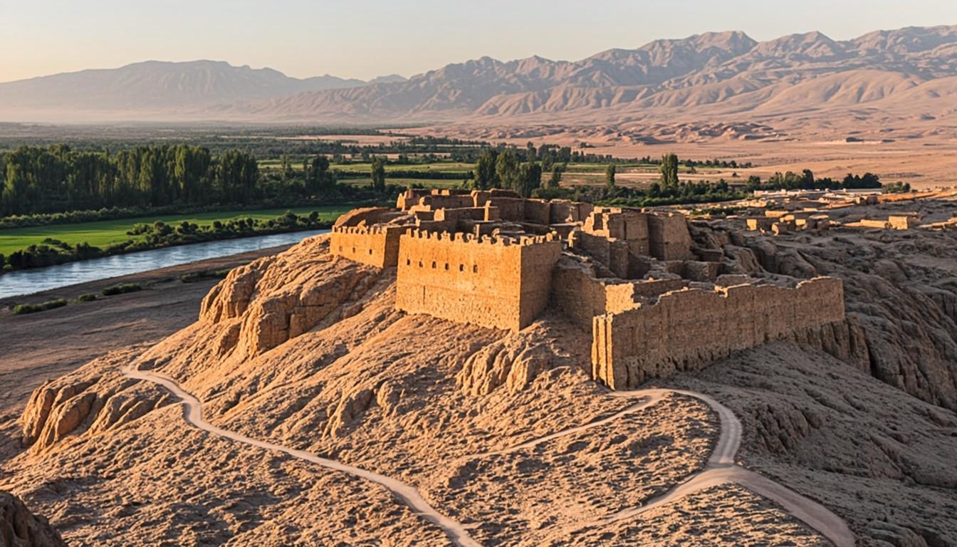
Pukará means fortress, and Quitor's position explains everything: a red-rock spur where the San Pedro river exits the cordillera, defensible on three sides, overlooking the oasis that made settlement possible. Atacameño communities built its walls and granaries in the 12th century; Spanish forces stormed it in 1540, and the defenders' story anchors regional identity. It became a national monument in 1982 and is run today by the local Atacameño community.
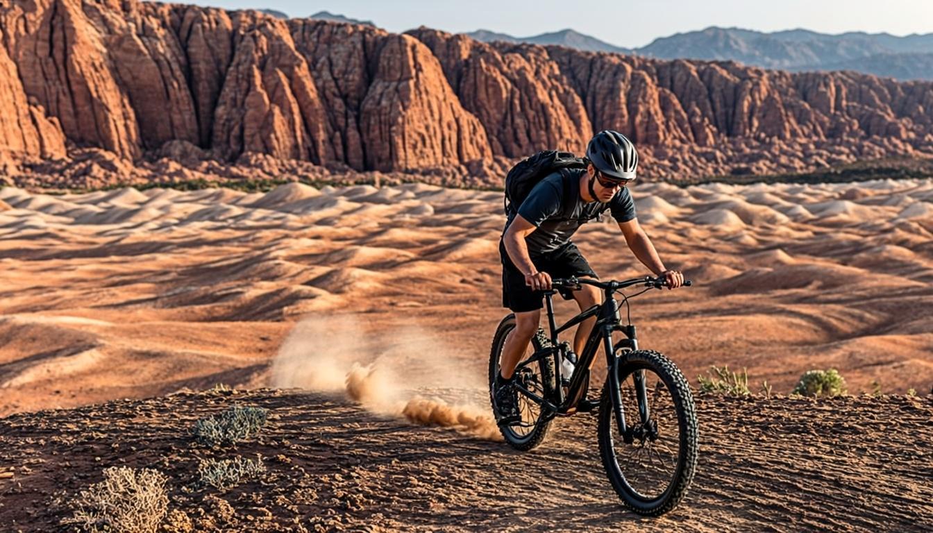
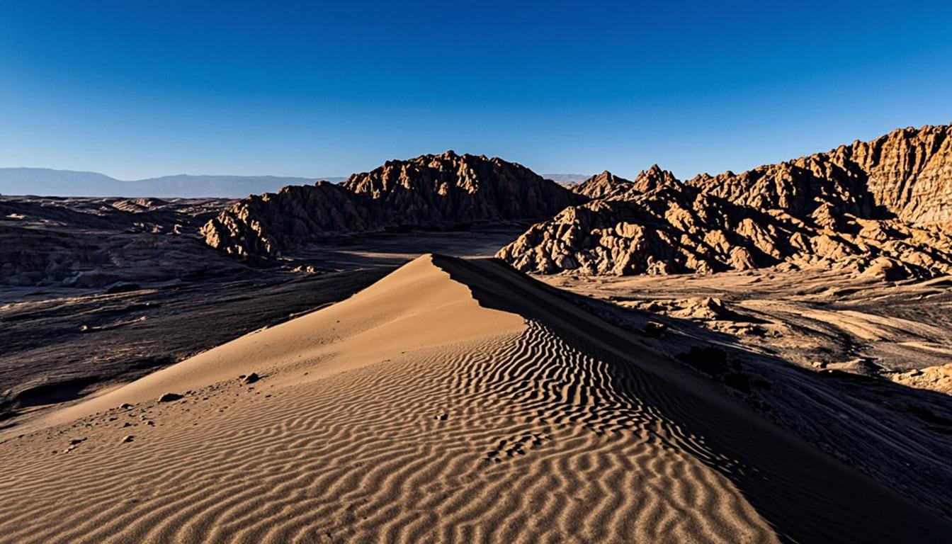
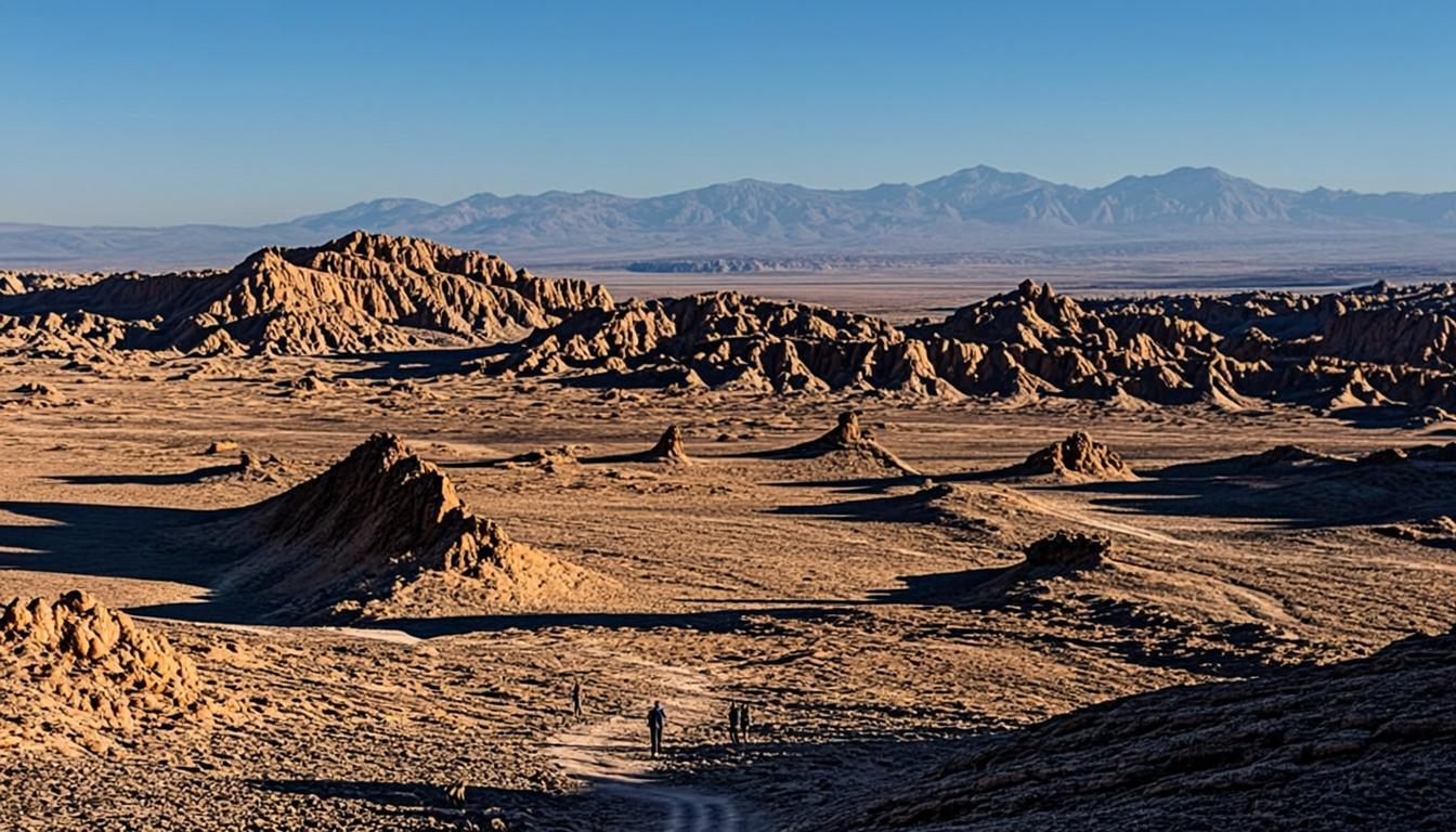
The visit is a loop: interpretation panels at the base, a steady climb along the ridge to a 360° mirador — the oasis grid on one side, the walls of the Cordillera de la Sal on the other, snow-capped volcanoes far east — and a descent past restored wall sections. Allow 90 minutes. Mountain bikers use the access road for a town-and-ruins combo, and the site pairs naturally with Tulor for a full archaeology afternoon.
Why go
Real 12th-century fortifications with a documented 1540 battle — history you can climb.
The best viewpoint-to-effort ratio in the valley: 30 minutes up for a 360° panorama.
Walking or biking distance from town — no tour, no car needed.
Community-run: your CLP 10,000 supports Atacameño heritage management.
Visiting Pukará de Quitor
How to get there
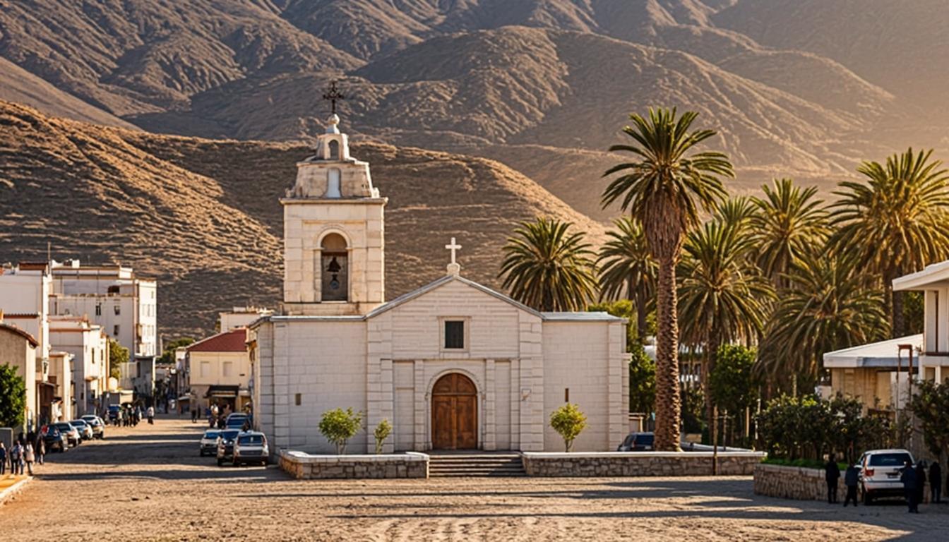
Follow Avenida Pukará north along the river for 3 km — a 10-minute drive, 15 by bike, or 40 on foot. Signage is good and the road is paved most of the way. Rental bikes from town make this the classic self-guided afternoon; taxis drop you at the gate for a few thousand pesos if the heat wins.
Do Quitor under your own power — bike there, climb the mirador, and you will understand the fortress's logic better than any tour can explain.
When to go & what to expect
Go early or late: the climb is exposed and midday sun is fierce year-round. The trail is steep but well-built — steps in the steepest parts — and the mirador frames the entire oasis grid, the salt range and, on clear days, Licancabur's cone. Two hours covers the site comfortably; carry a liter of water per person and pace the ridge slowly if you arrived at altitude recently.
Rules & practical tips
Stay on the marked circuit — the walls are fragile archaeological fabric, not landscaping. No drones, no climbing on structures, pets only outside the monument. Cash at the gate; there is shade at the entrance but none on the climb. The altitude basics apply even at 2,500 m if you sprint, and the budget guide counts Quitor among the region's best-value entries.
Common mistakes (and how to avoid them)
Quitor is close to town, which convinces people it is casual. It is a steep, exposed climb on a 700-year-old structure — short, but with real sun, real steps and real rules. It is also the classic arrival-day walk on a 3-day itinerary, so first-trip errors are common.
Starting the climb at midday: the ridge is exposed year-round and the sun here is not decorative. Go early or from two hours before sunset — the mirador faces the oasis best in late light anyway.
Sprinting the ridge at 2,500 m: 80-100 m of gain on steps leaves newly arrived visitors gasping. Half your sea-level pace, one pause per viewpoint.
Climbing on the walls or leaving the marked circuit: the fortification is archaeological fabric, patrolled and fined. The panels explain which sections are restored and which are original.
Carrying less water than the circuit needs: shade exists at the entrance only, and 90 minutes in dry heat drains a small bottle. One liter per person.
Quitor is short but not casual: time it against the sun, carry a full liter, and treat the walls as the 700-year-old structure they are.
Pukará de Quitor on the map — and the services around it
The orange pin marks Pukará de Quitor (3 km from San Pedro, about 10 min by van). Every other marker is a real service — and every marker has its own page: tap a place to open it, or add it straight to My Atacama Map. Useful if you are self-guiding or planning a stop on the way back to town.
- Landmarks & ruins
- Health & pharmacy
- Carabineros (police)
- ATMs & exchange
- Fuel station
- Transport
- Tourist info & CONAF
- Markets & shops
- Food & cafés
Positions are approximate and meant for orientation — follow the official park signs on site.
Services, food & stays nearby — open a place, add it to your map
The 10 closest places to Pukará de Quitor, sorted by distance: tap a name to open its own page, or pin it straight to My Atacama Map without leaving this one.
Distances are straight-line — real driving distance can be longer.
Frequently asked questions
Sources & verification
The official references we used while researching Pukará de Quitor: park rules, fees, safety and transport. Everything on this page is written independently — no operator pays for coverage here.
- gob.cl — official government context for Pukará de Quitor's national-monument status and Atacameño community management
- SERNATUR — official tourism information for Pukará de Quitor and the San Pedro river oasis
- chile.travel — official heritage destination profile for San Pedro de Atacama
External links open in a new tab and lead to official Spanish-language pages. Fees and access rules can change seasonally — confirm on site or by phone before you travel.